Our Services
Precision 3D Virtual tours and detailed floor plans tailored for your property needs
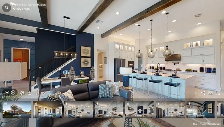
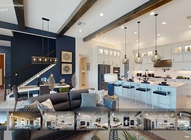
3D Virtual Tours
Experience immersive home tours created with advanced LiDAR scanning technology.
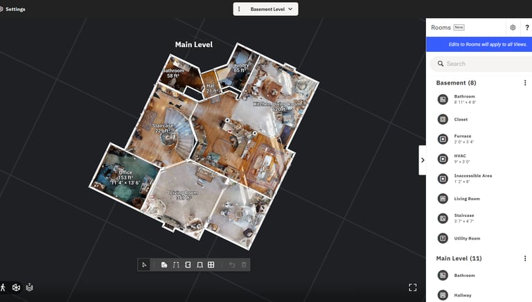
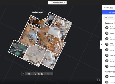
Floor Plans
Accurate floor plans with measurements and CAD files ready for Xactimate integration.
Virtual Tours
Immersive 3D Virtual walkthroughs capturing every detail.
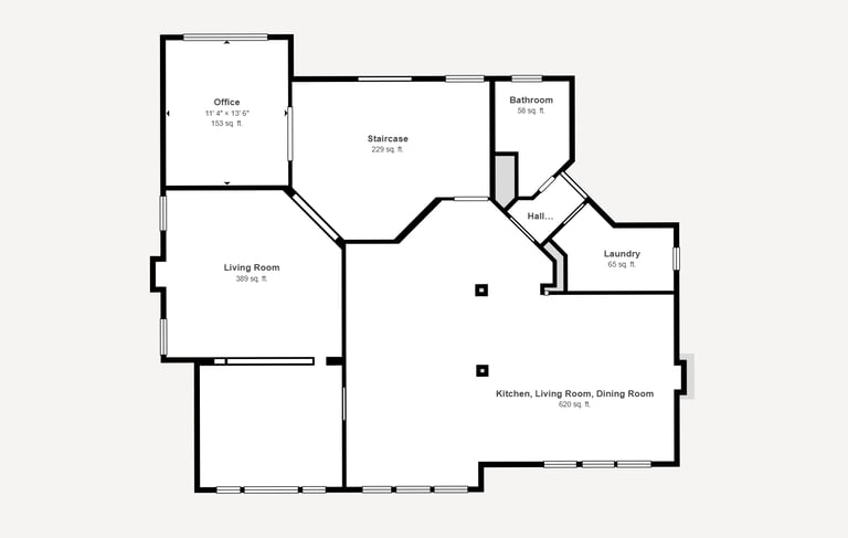
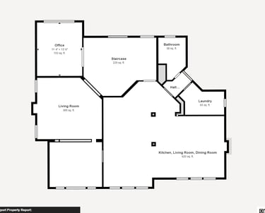
Accurate Floorplans
Precise measurements and CAD files tailored for seamless integration with Xactimate software.
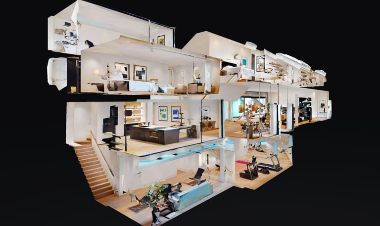
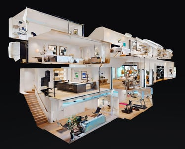
Digital Twins
High-fidelity digital replicas of spaces created using advanced LiDAR scanning technology.
Welcome to QRF Property
We bring your spaces to life with precise 3D tours, detailed floor plans, and seamless Xactimate integration.
Trusted By Experts, Insurance agents, Real Estate companies and more
Accurate Results on time and when you need them
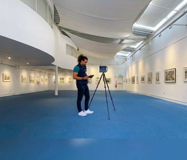
What do we use for our 3d virtual tours?
QRF Property Solutions uses Matterport Pro3 cameras to capture highly accurate 3D scans of properties using advanced LiDAR technology.
This allows us to create immersive 3D virtual tours, precise floor plans, and full “digital twins” of spaces that can be viewed, measured, and shared online. Our scans provide accurate dimensions and detailed visual documentation, making them ideal for real estate marketing, renovations, insurance records, and long-term property management.
How accurate are our 3d virtual tours?
QRF Property Solutions uses the Matterport Pro3 LiDAR system to capture highly accurate spatial data with measurement accuracy within approximately ±20 mm across large-scale environments.
The Pro3’s long-range LiDAR and advanced sensor fusion create true-to-scale 3D models, precise floor plans, and reliable digital twins that preserve exact dimensions and spatial relationships. This level of accuracy allows stakeholders to confidently take measurements, verify layouts, plan renovations, and document conditions remotely without repeated site visits.